010-C0747-10 Bluechart G2 HAF001REastern Africa Data Card
Model: 010-C0747-10 Brand: Garmin
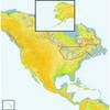
General coverage of the east coast of Africa from the Gulf of Tadjoura to the Bay of Maputo, including Mogadishu, Som., Mombasa, Ken., and Dar es Salaam, Tan. Also includes general coverage of the entire coast of Madagascar. Includes detailed coverage of Djibouti, Dji., Maputo, Moz., Mauritius, Reunion, and the Seychelles. See your surroundings more clearly with BlueChart g2 data. With BlueChart g2, you'll get detailed marine cartography that provides convenient viewing of nautical content. BlueChart g2 allows you to see your vessel's precise, on-chart position in relation to naviads, coastal features, anchorages, obstructions, waterways, restricted areas and more. You will also have access to detailed mapping capabilities that include Safety Shading , Fishing Charts , smooth data transition between zoom levels, harmonious transition across chart borders, and reduction of chart discontinuities. « less
Product Specification
-
Universal Product Identifiers
Part Numbers: 010-C0747-10, 10804532, 35575GTIN: 00753759089634
Related Products
-
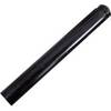
5" Pushrod Extension f/Tiller Pilots
-
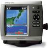
GPSMAP526S Color Combo SOUNDER/GPS w/Transducer
-
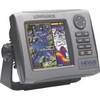
99-001 Hds5i-bndl, Hds-5, Fishfinder
-
GPSMAP 7012 GPS Chart Plotter Mfd 11068541
-
WPCTR1; Navigation Training Series
-
Great Lakes and The Maritimes NA-M026 c30127
-
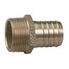
Pipe to Hose Adapter- Perko
-
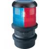
Quicfits System Navigation Light, Tri Color
-
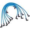
Marine Products Plug Wire Set 9-28015
-
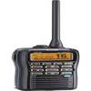
M92d Hand Held VHF
-
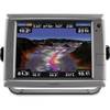
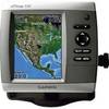
GPSMAP 530s - Marine GPS receiver - 4" color - 240 x 320
-
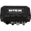
MDA-1 Metadata Class B AIS Transceiver W Internal GPS