3204 Lake Havasu
Model: 3204 Brand: Fish-n-Map
FISH-N-MAP UNDERWATER TOPOGRAPHY MAPSMade of waterproof, tear resistant plastic. Features include: underwater depth contours, fish locations, latitude and longitude for GPS, multiple freshwater lakes on one map, boat ramps, recreational facilities and much more.
Product Specification
-
Universal Product Identifiers
Part Numbers: 234560, 3204GTIN: 00761428032041
Related Products
-
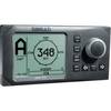
22087811 AP25 Second Station
-
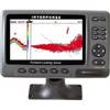
iScan V90 Forward Looking Sonar 16407
-
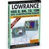
HDS 8, 8m, 10, 10m, GPS Chartplotter/Sonar [DVD]
-
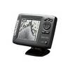
Mark 5x - Fishfinder - included transducer : Skimmer
-
SC103 Radar Pole Mount 6' Kit for Garmin/Furuno Domes
-
The Nautical Chart: A Novel of Adventure [Book]
-
15ft 24AWG CL2 High Speed HDMI Cable w/ Net Jacket - Black
-
560 VGA + 3.5mm Stereo Audio Male to Male Cable 50 ft. CL2
-
HST-DFSBL Transom Mount Transducer 50/200kHz Depth and Temp Blue Connector wdfsbl
-
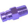
18-80406; Fuel Connector- Honda
-
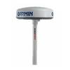
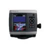
GPSMAP 431s - Marine GPS receiver - 4" color - 240 x 320
-
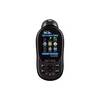
Earthmate GPS PN-60w - Hiking GPS receiver - Color