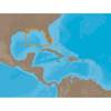
3208 l. Powell So
Model: 3208 Brand: Fish-n-Map
FISH-N-MAP UNDERWATER TOPOGRAPHY MAPSMade of waterproof, tear resistant plastic. Features include: underwater depth contours, fish locations, latitude and longitude for GPS, multiple freshwater lakes on one map, boat ramps, recreational facilities and much more.
Product Specification
-
Universal Product Identifiers
Part Numbers: 250129, 3208GTIN: 00761428032089
Related Products
-
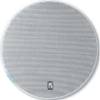
MA5106 Round 5 1/2 Inch Marine Speaker, 140 Watts
-
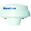
GPS200-01 GPS200 NMEA 2000 GPS Receiver
-
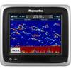
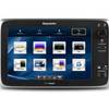
A67 Mfd Touchscreen wbuilt in Sonar No Charts E70077
-
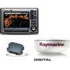
Package(E90W, GPS Antenna, DSM300G Sounder, 4KW 18 Inch Digital Radome & Radar Cable )
-
NA-C401 Furuno FP Format - St. Lucie Inlet - LK Pontchart
-
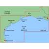
MapSource BlueChart - Morgan City-Brownsville - Maps
-
T70052 E125 Multifunction Display w/European Charts
-
The Nautical Chart [Book]
-
75ft 24AWG Cat6a 500mhz Stp Ethernet Bare Copper Network Cable - Blue
-
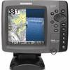
788ci HD Di Combo Down Imaging w/TM Transducer
-
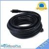
25ft 22AWG CL2 High Speed HDMI Cable - Black
-
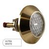
3010 Thru Hull Underwater Light - Super White