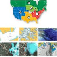
37636 HotMaps Platinum Multi-Dimensional 3D Lake Maps
Model: 37636 Brand: Navionics
HotMaps Platinum Multi-Dimensional Lake Maps - with 1000 of Navionics exclusive high-definition lake maps to 1' contours featuring 3D bottom view, top-down photo/map overlay and panoramic lake pictures. FREE Fish'N Chip high-definition fishing
Product Specification
-
Universal Product Identifiers
GTIN: '82124512594, 00821245125941Part Numbers: 11094265, 37636, DEF-257887MSDSO6, HMPT-S6, MSD-HMPT-S6
Related Products
-
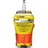
MT-403G AccuSat 406 Cat 2 EPIRB Intern GPS Non-Hazmat Withbracket
-
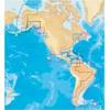
11094018 Map, Nova Scotia-st Lawrence River
-
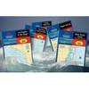
Waterproof Chart Kit - Cape Cod to Cape Ann, Mass #WPB0240
-
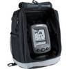
PiranhaMAX 150 Portable - Fishfinder - portable - included transducer : XPT-9-20-T - single-beam
-
Marine Naviled 360 All-Round Navigation Light
-
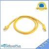
3ft 24AWG Cat5e 350MHz UTP Bare Copper Ethernet Network Cable - Yellow
-
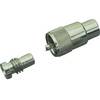
329902-1 Pl259/ug176 Connector Set for RG59U Cable
-
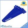
Hook & Loop Fastening Cable Ties 6inch, 100pcs/Pack - Blue
-
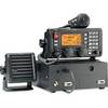
M802 Marine SSB Radio Clear / Ice / Red / Tan
-
IC-M304 VHF TRANSCEIVER, White Waterproof VHF Transceiver
-
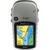
eTrex Vista HCx - Hiking GPS receiver - Color - 176 x 220
-
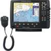
CPV550 Large-Screen GPS Chartplotter and VHF Radio