8264; Map-Clearlake/Lake Berryessa
Model: 8264 Brand: Fish-n-Map
FISH-N-MAP UNDERWATER TOPOGRAPHY MAPSMade of waterproof, tear resistant plastic. Features include: underwater depth contours, fish locations, latitude and longitude for GPS, multiple freshwater lakes on one map, boat ramps, recreational facilities and much more.
Product Specification
-
Universal Product Identifiers
Part Numbers: 235450, 8264, MSI432211GTIN: 00761428082640
Related Products
-
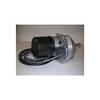
Dashboard Autopilot Drives for Cable Steering 12V 29010002
-
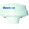
GPS200-01 GPS200 NMEA 2000 GPS Receiver
-
CH250BB/88/240 88 kHz Black Box Searchlight Sonar System. Includes 400mm Travel Hoist and Operates at 12VDC
-
Cat6a Ethernet Cable | 3ft | Orange | Network | 10 Gigabit
-
41300-7, 41 Port 12V/25W Light
-
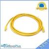
10ft 24AWG Cat5e 350MHz UTP Bare Copper Ethernet Network Cable - Yellow
-
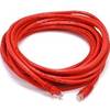
25ft 24AWG Cat5e 350MHz UTP Bare Copper Ethernet Network Cable - Red
-
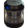
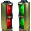
Double Lens, Side Navigation Lights, 120V Volts, 1164 Series, Green
-
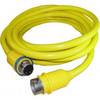
50 Amp 25' Cord Set - Yellow - 125/250V
-
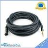
35ft Premier Series XLR Male to 1/4inch TRS Male 16AWG Cable (Gold Plated)
-
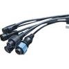
1852068 MKR-US2-8 Hum 7 Pin Connector
-
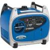
EF2400iHC - 2400 watts/16.7 Amps Portable Inverter Generator - EF2400iHC