8265; Map-Lake Camanche/Folsom Lake
Model: 8265 Brand: Fish-n-Map
FISH-N-MAP UNDERWATER TOPOGRAPHY MAPSMade of waterproof, tear resistant plastic. Features include: underwater depth contours, fish locations, latitude and longitude for GPS, multiple freshwater lakes on one map, boat ramps, recreational facilities and much more.
Product Specification
-
Universal Product Identifiers
Part Numbers: 235310, 8265GTIN: 00761428082657
Related Products
-
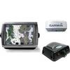
A67 Mfd Touchscreen W/built-in Digital Sonar - Navioni Map
-
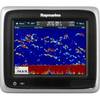
Radar 5012 Package with GMR24HD 4KW Radome & GSD22 Sounder
-
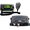
Vhf200 amp; AIS 300 Marine Communication Bundle #K10-00170-00
-
Max EN-M326 W9 Finland Lakes-MAX
-
Ite-unnum415bk-ptrind1 Um415Oceanus D Marine Radio
-
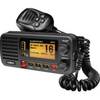
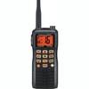
HX 750S Handheld VHF Marine Radio
-
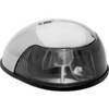
3820ST1 Light,Nav(Sold Pair Only)12Vss
-
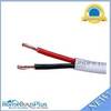
100ft 16AWG CL2 Rated 2-Conductor Loud Speaker Cable (for In-Wall Installation)
-
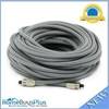
75ft Premium Optical Toslink Cable w/ Metal Fancy Connector
-
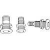
Th-752Xl-B Thru Hull 3/4" White 2-1/2" Hull
-
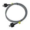
A62245 1.5m SeaTalk HS Cable Waterproof Connector
-
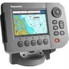
E62184-US - A50 5 Chartplotter, US Maps, Int GPS