BlueChart g2 Vision - New York - Maps
Model: Brand: Garmin
BlueChart g2 Vision offers the same rich detailed charting of BlueChart g2 to help you get the most out of your unit. In addition, g2 Vision features a growing database of high-resolution satellite imagery, above and below the water 3D perspective, auto guidance technology, aerial photographs for real world reference and coastal roads with points of interest. PThis product features providence to New York, includes Narragansett Bay, all of Long Island, the entire Hudson River, New York Harbor through Perth Amboy and Brick Township. « less
Product Specification
-
General
Product Type: MapsDistribution Media: SD Memory CardFirst Seen On Google Shopping: May 2007 -
Compatibility Information
Designed For: Garmin GPSMAP 4008, 4012, 420, 4208, 420s, 4212, 430, 430s, 430sx, 430x, 440, 440s, 440sx, 440x, 450, 5008, 5012, 520, 5208, 520s, 5212, 525, 525s, 530, 530s, 535, 535s, 540, 540s, 545, 545s, 550, 550s, 555, 555s -
Universal Product Identifiers
Part Numbers: 010-C0705-00, New YorkGTIN: 00753759068851
Related Products
-
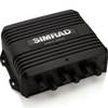
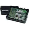
AC80S Autopilot Computer 000-10188-001 ac80
-
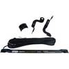
FAPAR4102 Teleflex Linear Outboard Rudder Reference Unit - 8''
-
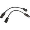
Motor/Sonar Connector Plug
-
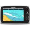
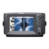
C95 9" Multifunction Display w/ US Coastal Charts
-
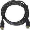
8ft 28AWG High Speed HDMI Cable w/Ferrite cores - Black
-
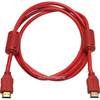
6ft 28AWG High Speed HDMI Cable w/Ferrite cores - Red
-
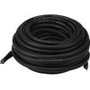
50ft HDMI Cable v1.4 Male-to-Male (Black)
-
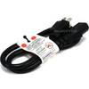
2ft 16AWG Power Cord Cable w/ 3 Conductor PC Power Connector Socket (C13/5-15P) - Black
-
408890-1 898c HD Si Combo
-
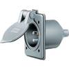
Wiring Device-Kellems HBL61CM64 Inlet,marine,15 A 3d235
-
PC/NMEA/SeaTalk Interface Box E85001
-
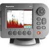
34210 A50D 5" Combo w/ Coastal Maps, Int GPS