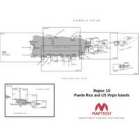
Cdr10 Digital Chart Kit Pr and US VI
Model: Cdr10 Brand: Maptech
Digital Chart Kit Puerto Rico and US Virgin Islands Contains all NOAA Charts in the title area, Coastal Topo Maps, Selected Navigation Photos, Aerial Pictures, Tides, Light Lists, Coast Pilot, Facilities are not included, Chart Navigator. The charts are BSB4 format-make sure your software is compatible. Digital ChartKit Digital ChartKit has all the software you need to get started in PC navigation. Each region includes GPS navigation software and charts on CD-ROM. Plan Before You Go Digital ChartKits include Offshore Navigator GPS planning and chartplotting software. Route planning is as simple as clicking a mouse. Click, and you've put the first waypoint on the chart. Click again and you're creating a route. It's that easy. Print Print route plans, tide and current graphs, and chart packets on standard home or office printers. GPS Ready Digital ChartKits « less
Product Specification
-
Universal Product Identifiers
Part Numbers: 32517, CDR10, cw-32517GTIN: 00608014703094
Related Products
-
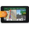
Nuvi 3450LM Automotive GPS 010-00009-20 c42506
-
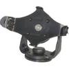
GPS receiver mount bracket
-
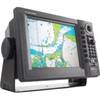
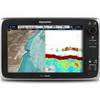
T70046 E95 Multifunction Display w/US Inland Charts
-
Plans - Saltspring Island Chart
-
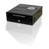
Marinenav Leviathan Marine Navigation PC Computer LEV-017R-AMD
-
GP1920C-NT VX2 Chartplotter C-Map NT
-
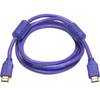
6ft 28AWG High Speed HDMI Cable w/Ferrite cores - Purple
-
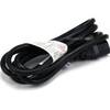
6ft 16AWG Power Cord Cable w/ 3 Conductor PC Power Connector Socket (C13/5-15P) - Black
-
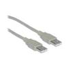
USB cable - 4 pin USB Type A - M - 10 ft - PC
-
/ Quicksilver 22-808727 Trim Hose Connector W/Screen
-
C125 Multifunction Display w/US Coastal Charts Map
-
9-28052 Plug Wire Set