NaM024 CCard Format u.s.west Coast and Hawaii
Model: NaM024 Brand: C-Map
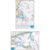
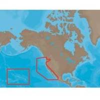
NA-M024 > USA West Coast and HawaiiCoverage of the Pacific Coast of the United States, including all of the coasts of California, Oregon and Washington. Coverage of Baja California and Mexico down to Puerto Vallarta. Detail of the Columbia River, Sacramento River, Willamette River. Snake River and San Joaquin Rivers are also included. Full coverage of Puget Sound and the San Juan Islands up to Point Roberts is also included. Additional coverage of the Hawaiian Islands out to Midway and Johnston Atoll is also included. « less
Product Specification
-
Universal Product Identifiers
Part Numbers: 30132, CMANAM024CCARD, NA-M024, NA-M024-C, NA-M024C-CARDGTIN: 000000165838, 00686074002753
Related Products
-
010-N0593-01 - GPSMAP 5208 Noh Chartplotter w/GPS Ant
-
Massachusetts Fishing Chart Fish & Dive Nautical Marine Charts - Waterproof Charts
-
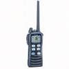
Solara DSC Fixed Mount VHF 2-Way Marine Radio White
-
Cat6a Ethernet Cable | 2ft | Black | Network | 10 Gigabit
-
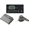
AP35 Autopilot System AP35, J3000X, RF300 No Heading Sensor
-
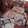
325 NaviTote Navigation Tool Carry Case
-
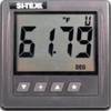
SST110 Surface Temp with Out Sensor
-
M72 220V Charger Euro with BC-147E
-
Simnet Cable 2m 24005837-SimNet
-
Marine Products Terminal, Spark Plug Wire 9-28122
-
Articulating All Round Pole Light, 48 Inch
-
Orange Six Inch Category 5 Enhanced Cat 5e Ethernet Network Cable .5