NT+ Wide Chart (New Zealand & Australian & Asia Region)
Model: Brand: C-Map
Cmap Chartplotter Compatibility Indian Ocean & Asia (W) Oceania (W) NT+ is the "next generation" of C-MAP electronic charts, featuring much wider coverage areas at substantially lower prices. NT+ C-card technology is reverse-compatible with current NT charting systems. Full benefits of improved chart display are optimized on systems Designed for NT+ (or by updating your NT system software to NT+). Vastly Expanded Coverage: Important advances in technology now permit C-MAP to offer significantly increased coverage areas without sacrificing compatibility or performance with current C-card based navigating systems. This has, in turn, resulted in much more coverage at a much lower cost! Extra Information Not Found On Official Government Charts: True Color NavAids - Extensive NavAid information, allowing for on-screen display in true shapes and colors. Port Info - Complete and detailed databases of port facilities, services and contact information. Tide Info - NT+ C-cards include primary and secondary tidal stations that can be queried for easy access while navigating. Easy-to-read graphs display depth at high and low water for sun-up and sun-down. Tidal predictions make travel planning easier and safer. Improved Chart Display: Paper Chart Appearance - All the advantages of electronic charts with the familiar look of a paper chart. C-MAP's experience with professional navigation and highly effective chart display has resulted in a new chart look for NT+. This new look makes creative use of colors, patterns and icons to increase the familiarity and usability of the content-rich NT+ database. New NavAid Symbols and Styles - Depending upon navigation situations and mariner's preference, Aids to Navigation can now be configured for three basic styles: INTERNATIONAL - NavAids shown in real life shapes and colors for quick visual recognition (as per official paper chart presentations). UNITED STATES - NavAids shown in simplified shapes and real colors (as generally found on NOAA paper charts). SIMPLIFIED - NavAids shown in generic symbols for minimum visual clutter on-screen. SIMPLE - Some selections are turned off, such as Light Sectors, Seabed Type, Tracks & Routes, Lat/Lon Grid. FISHING - Turns off even more selections, like Tides & Currents, Ports & Services, Rivers & Lakes, Chart Boundaries. CUSTOM - The navigator selects which features he'd like on the screen. What are the Differences Between NT+ Local, Wide & SuperWide C-cards? Simply put, the differences lie in the C-cards geographical coverage and pricing. They differ only in the amount of the boating area that the individual NT+ C-card covers. « less
Product Specification
-
Universal Product Identifiers
Part Number: c11206int
Related Products
-
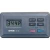
SP-80MT Autopilot for Cable Steer Tilt Type Helms st80mt
-
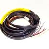
Boat (External) Wiring Harness Johnson/Evinrude OMC Yellow Plug New 473-9420 Instrument Cable Assembly
-
CH270BB/224 180 kHz Black Box Searchlight Sonar System. Includes 250mm Travel Hoist and Operates at 24 and 32VDC
-
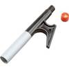
166-5141 Boat Hook Replacement Tip Tough Strong Non
-
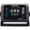
00010778001 HDS-7 Touch G2 Insight W-Lss
-
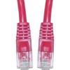
Cat6a Ethernet Cable | 5ft | Red | Network | 10 Gigabit
-
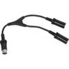
M101RYC-RET Y Cable for Marine Receivers for Dual Remotes
-
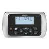
MWR150 Full Display Wired Marine Remote Control Map
-
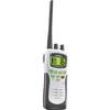
ATLANTIS 250-G VHF Two-way radio
-
4731CR Female Connector 15A 125V
-
Automatic Generator Start 809-0915 (Require Scp System) C16523
-
T70000 - E7, 7 GPS/MFD w/ US Coastal Charts