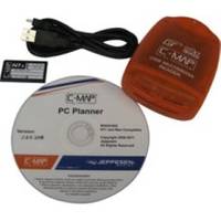
PCPLANNER2 PC Planner - NT+/MAX 2MB
Model: PCPLANNER2 Brand: C-Map
PC-Planner Turn your PC into a virtual chart plotter, while using your actual C-Map electronic chart in the process. Now use PC-Planner to access all of the functions normally found in your chart plotter. With PC-Planner you can view actual chart data, create and change routes, accurately measure distances, and add and edit waypoints and marks. Easily transfer your trip plans to a C-Map Memory Card, plug it into your chart plotter, and load your routes on the spot. This means can get on your boat; turn on your chart plotter; load your trip data; turn on your engine and you're off. Use the same C-Map chart you use in your chart plotter and your PC will mirror the detail you see onboard your boat. Access all of the planning data that C-Map charts offer, including: [+] Coastal Navigation Data [+] Depth Contour Data [+] Spot Soundings [+] Port Information [+] Marina Information [+] Tide Data> « less
Product Specification
-
Universal Product Identifiers
Part Numbers: 15847, PCPLANNER2GTIN: 000000158473, 158473
Related Products
-
Package(c97 with USA Coastal Chart, 4KW 24 Inch Digital Radome & Radar Cable)
-
6850 Vision Series Modular System Mounting Plate
-
A28 Imray Guadeloupe Marine Nautical Chart
-
SP110RF-3 System with Rudder Feedback and Type S Mechanical Das
-
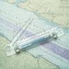
155 Marine Navigation Bi-Rola Rule
-
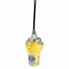
Smartfind 406 Category 2 #82-800-003A
-
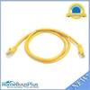
3ft 24AWG Cat5e 350MHz UTP Bare Copper Ethernet Network Cable - Yellow
-
Cat6a Ethernet Cable | 15ft | Gray | Network | 10 Gigabit
-
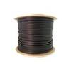
Bulk cable - CAT 5e - Shielded twisted pair (STP) 1000 ft - Black
-
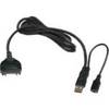
USB cable - 4 pin USB Type A - M - PC
-
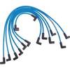
Marine Products Plug Wire Set 9-28023
-
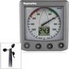
26235 ST60 Plus Wind System with Rotavecta Wind Transducer