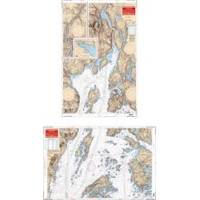
Rockport to Bangor, Maine Nautical Marine Charts - Waterproof Charts
Designed for recreational boaters, fishermen and divers. Waterproof Charts are beautifully printed on synthetic paper. For use on deck in any weather rain or spray! Accurate, used by Coast Guard and Navy, simple to use with GPS. Foldable and easy to hold and store Waterproof Charts are so tear resistant you can't ruin them. Printed on both sides so they save you money! This great chart combines 2 NOAA charts for coverage of this popular boating area. Starting in Bangor covers the Penobscot River downstream thru Bucksport to Searsport then broadens to cover Penobscot Bay, Belfast, Castine and Islesboro Island. An inset gives details of Belfast Harbor and east across the bay the coverage continues to Castine Harbor, Smith Cove and the Bagaduce River up to Northern Bay. Twenty two GPS waypoints make it easy to set up your GPS for navigating this area. Information from 2 NOAA charts 13309 and 13305. GPS datum. « less
Product Specification
-
Universal Product Identifiers
Part Number: 106
Related Products
-
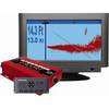
Escort 90Deg SCANNING Sonar with Transom Mount Transducer U1-ESCT-00A escorta
-
Package(C120W, DSM300G Sounder, 4KW 18 Inch Digital Radome & Radar Cable)
-
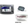
Radar 4208 Package with GMR18 4KW Radome
-
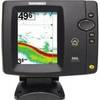
500 Series 586c - Fishfinder - included transducer : XNT-9-20-T - dual-beam
-
FBRS 2774 Battery Service Includes 1096 Batt Parts Labor
-
Andr� Previn - Play Showboat [Digital Version]
-
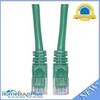
Cat6a Ethernet Cable | 3ft | Green | Network | 10 Gigabit
-
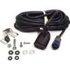
HST-WSBL TM Ducer Depth/Temp Blue Connector
-
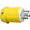
26CM11 Male Plug for 30 AMP/125 Volt
-
Federal Mogul RL82C Marine Plug 874-1
-
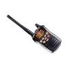
VOYAGER VHF Two-way radio
-
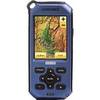
Endura Sierra - Hiking GPS receiver - 2.7" color - 320 x 240