Waterproof Chart Kit - Long Island Sound #WPB0325-03
Model: WPB0325-03 Brand: Maptech
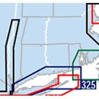
Waterproof Charts w/ Companion CD WPB0325 325: Long Island Sound NEW LAYOUT. 20 MORE PAGES. The entire Sound to Block Island and Point Judith. 10 overview charts and 50-plus harbor insets. 48 pages, 200 GPS waypoints, pre-plotted courses, ramps and 500 marinas. 12 x 17, scales 1:89,000 with insets. Product Overview These easy-to-use, compact chart books are ideal for Day-Sailors, Fishing Boats, and Trailer Boats. They measure 12 x 17 (24 x 17 when open) and are made of waterproof, tear-resistant synthetic paper that will withstand the elements. GPS Ready New features make Waterproof Chartbooks easy to use with your GPS. Most charts include one-minute lat./long. grids to make vessel positioning a breeze, and major navigation aids are identified with named GPS waypoints. Small and Large-Scale Charts Waterproof Chartbooks include small-scale, wide area charts as well as large-scale « less
Product Specification
-
Universal Product Identifiers
Part Number: WPB0325-03
Related Products
-
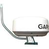
E70014 C127 Multifunction Display w/Sonar - No Preloaded Cha
-
X67-C Sonar [DVD]
-
Radar Pole Mount 8' Kit for Raymarine 2KW and 4KW
-
Spot 2 Satellite GPS Messenger - Silver Gloss Silver
-
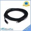
Ethernet Category 5 Enhanced RJ45 Network Patch Cable - 14'
-
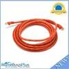
14ft 24AWG Cat6 550mhz UTP Ethernet Bare Copper Network Cable - Orange
-
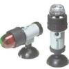
Innovative Lighting Portable Bow Light 560-1601-7
-
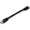
Black Six Inch Category 5 Enhanced Cat 5e Ethernet Network Cable .5
-
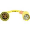
Wiring Device-Kellems Hbl61cm25 Marine Adapter 3d963
-
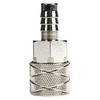
03348810 FITTING-FUEL Suzuki 3/8in to 75HP
-
PMA-5G-7LSS 5" Stainless Steel Power Mount
-
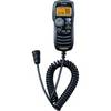
HM-162 Command Mic