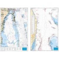
Waterproof Charts 123F Coastal Miami Trolling Chart - FISH/DIVE
Model: 123F Brand:
Pierce south to Key Largo and offshore to the West Bahamas, this chart is derived from 6 different Bathymetric charts which show detailed bottom contour thru the deepest water. Highlighted are popular trolling areas with their local names, which provide the structure for the best deep water, fishing. Over 100 GPS coordinates provide targets for trolling fishermen. The reverse side is coverage from North Miami to Elliot Key and has listings for 85 popular wrecks and reefs, many with GPS/Loran Waypoints. A total of 215 numbers!! 25 x 38 « less
Product Specification
-
Universal Product Identifiers
Part Number: 123F
Related Products
-
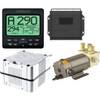
AP2404VRF Autopilot AP24,AC42,RC42,RPU160
-
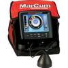
LX-7 Color LCD Sonar
-
C97 Multifunction 9" Display with Sonar - aus, NZ, S. America, Asia Charts T70025 c44026
-
NA-C801 Furuno FP Format Dixon Entrance - Icy Bay
-
Max AN-M202 W50 Korea Strait, Okinawa Shima-MAX
-
Marinenav Explorer Marine Navigation PC Computer EXP-013-intel
-
Bronze Seacock, 3/4 Inch Adapter, Straight 0835005PLB
-
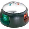
3540-7 LED Navigation Light Bi Color
-
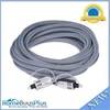
15ft Premium Optical Toslink Cable w/ Metal Fancy Connector
-
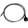
SeaTalk Cable High Speed Network C16533
-
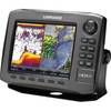
000-10537-001 HDS-8 Gen2 Insight USA 83200khz Marine Electronics
-
FUR-GP330B GPS Antenna/Receiver with 6 Meter Cable