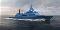
Marine electronics manufacturer Furuno introduced the NavNet TZtouchXL series, a suite of Multi Function Displays (MFDs) designed to meet the requirements of workboat operators, including ferries and tugboats.
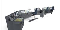
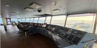
The NavNet TZtouchXL series encompasses three large-sized MFDs: the 16” TZT16X, 22” TZT22X, and 24” TZT24X. These MFDs feature super-wide, all-glass displays with exceptional clarity and brightness. The rugged all-glass design is not only functional but also enhances the durability and functionality of the helm. For boats requiring a more compact solution, the 10” TZT10X and 13” TZT13X deliver performance with space efficiency. These MFDs incorporate Furuno's hybrid control with the intuitive RotoKey control knob, seamlessly integrating with TZtouchXL’s user-friendly interface to simplify navigation. Intuitive Edge Swipe functions and customizable quick pages cater to the efficiency-focused mindset of workboat operators, and each TZtouchXL MFD is powered by a hexacore processor for rapid response while monitoring critical data.
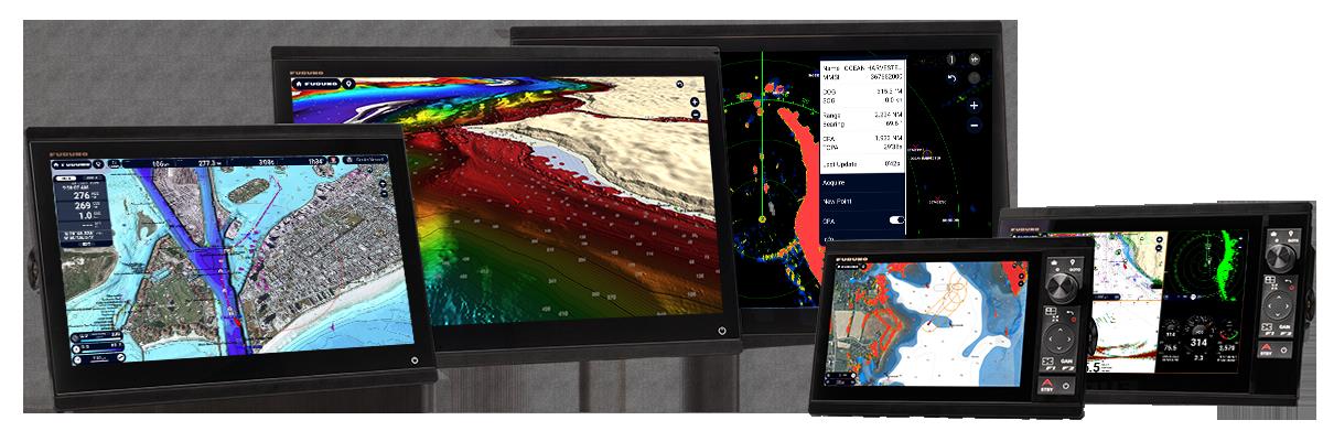
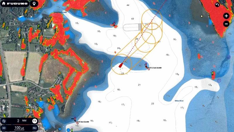 AI Avoidance Route detects hazardous objects and instantly calculates the safest route to avoid them (Image: Furuno)
When connected to a Furuno DRS Radar, two new safety features are unlocked: Risk Visualizer and AI Avoidance Route. Risk Visualizer is a unique function of Furuno Radars that provides a 360° visual representation of potential collision risks of approaching objects around the vessel. Unlike CPA/TCPA alarms, which indicate only the risks visible on the ship’s current course, Risk Visualizer assesses all of the objects around the vessel. Dynamic icons are automatically created for targets with the highest probability of collision, ensuring the captain has the information they need to maintain safe distances when passing. The new AI Avoidance Route feature takes all the information provided by the Radar and instantly provides a safe route around those hazards.
NavNet TZtouchXL also supports essential workboat tools such as AIS and Autopilot, along with new chart plotting features found in TZ MAPS, a comprehensive new standard in nautical cartography. A one-time purchase unlocks TZ MAPS charts for the entire US or other global areas of your choice. TZ MAPS enhances workboat navigation with full vector capabilities, ensuring clarity and detail at all levels of zoom. Operators can customize color palettes and edit chart objects, tailoring the charts to meet their specific needs.
With a complimentary TimeZero account, workboat operators can efficiently manage their data, including backups and retrieval from the cloud, ensuring that essential operational data is always at their fingertips.