Woolpert Inc and iXblue Sea Operations division, part of iXblue Group based in France, have formed a strategic partnership to provide aerial mapping services to clients in Australia, New Zealand and across the South Pacific.
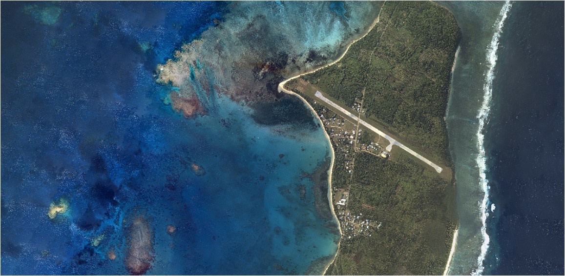
Under this partnership, Woolpert and iXblue will collect, process and deliver airborne Digital Imagery, Topographic LiDAR and Bathymetric LiDAR operations from helicopter and fixed wing platforms to provide custom solutions to commercial and government clients.
Woolpert has collected and processed hundreds of thousands of square miles in aerial, terrestrial and bathymetric lidar data and orthoimagery for clients within and outside the continental U.S. These clients include the U.S. Geological Survey, the U.S. Army Corps of Engineers and the National Geospatial-Intelligence Agency, as well as customers across multiple commercial industries. In May, the firm also acquired Geomatics Data Solutions, an international marine and terrestrial survey firm.
iXblue has surveyed more than 100,000 line miles worldwide and has been operating the Sea Operations division across the Australasian region since 2007 providing clients with detailed and precise surveys of the marine and littoral environment. iXblue recently announced the diversification in capability to include an aerial mapping operation alongside its existing marine survey business.