Marine Navigation, 0
-
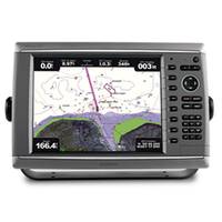
GPSMAP� Touchscreen Chartplotter 7212 preloaded BlueChart� g2 maps of the U.S. coast, 12.1"
-
GPSMAP� Touchscreen Chartplotter 7215, preloaded BlueChart� g2 maps of the U.S. coast, 15.5"
-
HVision 30/30HV Display
-
-
MID 110 Multi-Function Instrument Display
-
GPSMAP� 5212 Network Chartplotter with U.S. Coastal Detail Maps, 12.1"
-
GPSMAP� 4210 Network Chartplotter with U.S. Coastal Detail Map, 10"
-
GPSMAP� Premier Chartplotter 6212 with preloaded BlueChart� g2 maps of the U.S. coast
-
GPSMAP� Premier Chartplotter 6208 with preloaded BlueChart� g2 maps of the U.S. coast, 8.4"
-
GPSMAP� 7015 Basemap Only
-
GPSMAP� 7012 Basemap Only
-
GPSMAP� Premier Chartplotter 6008 with Worldwide Satellite-enhanced Basemap
-
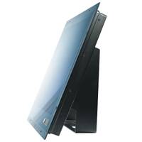
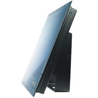
MO15F Monitor 15" 3mm Flange Mount
-
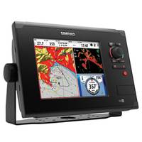
NSS8 Combo GPS with Sonar Multi-function Display
-
-
MO19B Monitor 19" Rear or bracket moun
-
GPSMAP� Premier Chartplotter 6012 - Basemap Only
-
MO19F Monitor 19" 3mm Flange Mount
-
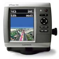
GPSMAP 546 Chartplotter
-
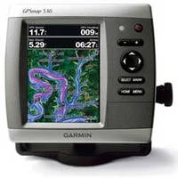
GPSMAP 536 Chartplotter
-
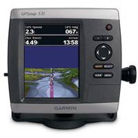
GPSMAP 531 Chartplotter, 5"
-
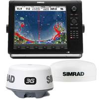
NSE Navigation Value Pack, NSE12, 3G, GS15
Refine Search
marine navigation(x) •
0(x) •
(21-40 of 42)
clear
Interface
-
NMEA 0183, NMEA 2000 (25)
-
NMEA 0183, NMEA 2000, WiFi, Bluetooth (4)
-
Ethernet, USB, DVI, NMEA 0183, NMEA 2000 (3)
-
Ethernet, NMEA 0183, NMEA 2000 (2)
-
SimNet, Ethernet, H-Link, NMEA 0183, NMEA 2000 (2)
-
VGA, DVI, Composite, S-Video (2)
-
NMEA (1)
-
USB, NMEA (1)
-
USB, NTSC/PAL, VGA Video, NMEA (1)