Nmea 0183, Nmea 2000, 1 Year
-
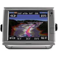
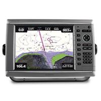
GPSMAP� Touchscreen Chartplotter 7212 preloaded BlueChart� g2 maps of the U.S. coast, 12.1"
-
GPSMAP� Touchscreen Chartplotter 7215, preloaded BlueChart� g2 maps of the U.S. coast, 15.5"
-
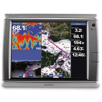
GPSMAP� Premier Chartplotter 6212 with preloaded BlueChart� g2 maps of the U.S. coast
-
-
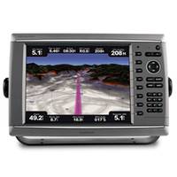
GPSMAP� Premier Chartplotter 6208 with preloaded BlueChart� g2 maps of the U.S. coast, 8.4"
-
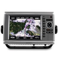
GPSMAP� Premier Chartplotter 6008 with Worldwide Satellite-enhanced Basemap
-
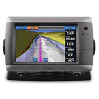
GPSMAP� 720 Stand-alone Touchscreen Chartplotter, GPS, Basemap Only, 7"
-
GPSMAP� Premier Chartplotter 6012 - Basemap Only
- 1
- 2