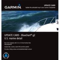
010-10800-72 Bluechart G2 Map Update
Model: 010-10800-72 Brand: Garmin
Garmin has created an update for units preloaded with BlueChartr g2 U.S. coastal maps. This update will provide customers with the newest charting additions and Notice to Mariners changes available, including navaids, port plans, depth contours, fishing contours, spot soundings and more. The update card will also contain a software update for Garmin devices. The software update must be performed on the device before the update map will work. Also please note that the card must remain in the device to view updated maps. The card does not overwrite the unit's internal maps. Features: Provides basic chart navigation with 2-D or 3-D over the bow view map perspective Includes tides, currents, marine points of interest (POIs) and IALA symbols Displays port plans, fishing contours and standardized depth contours « less
Product Specification
-
Universal Product Identifiers
Part Numbers: 010-10800-72, 38847, GAR0101080072GTIN: 00753759102524
Related Products
-
Video Sbmay3dvd DVD Mariners Guide to VHF Radar
-
Package(e125 with aus, NZ, S. America, Asia Chart, 4KW 18 Inch Digital Radome & Radar Cable)
-
VCA014R Nunavut & Hudson Bay Bluechart G2 Vision 35806
-
XGPS150 - Marine, hiking, automotive, cycle, golf, running GPS receiver
-
Kwik Tek Life Jacket Bag, 4 Adult
-
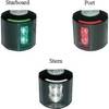
Series 43 Black LED Navigation Light Stern
-
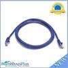
5ft 24AWG Cat5e 350MHz UTP Bare Copper Ethernet Network Cable - Purple
-
6ft DB-25(IEEE-1284) Male to Mini/Micro Centronic 36(hpcn36) Male Cable [IE]
-
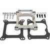
Marine Power 441220 Adapter Plate 262 Holley
-
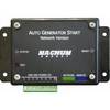
ME-AGS-N - Automatic Gen Start Module, Network
-
998c Si Combo NVB Navionics Bundle #407760-1V
-
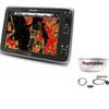
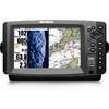
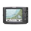
1100 Series 1155c NVB - Marine Chartplotter - 10.4" color - 800 x 600