010-C0747-20 Bluechart G2 HXAF001REastern Africa Microsd/sd ADA
Model: 010-C0747-20 Brand: Garmin
General coverage of the east coast of Africa from the Gulf of Tadjoura to the Bay of Maputo, including Mogadishu, Som., Mombasa, Ken., and Dar es Salaam, Tan. Also includes general coverage of the entire coast of Madagascar. Includes detailed coverage of Djibouti, Dji., Maputo, Moz., Mauritius, Reunion, and the Seychelles. See your surroundings more clearly with BlueChart g2 data. With BlueChart g2, you'll get detailed marine cartography that provides convenient viewing of nautical content. BlueChart g2 allows you to see your vessel's precise, on-chart position in relation to naviads, coastal features, anchorages, obstructions, waterways, restricted areas and more. You will also have access to detailed mapping capabilities that include Safety Shading , Fishing Charts , smooth data transition between zoom levels, harmonious transition across chart borders, and reduction of chart discontinuities. « less
Product Specification
-
Universal Product Identifiers
Part Numbers: 010-C0747-20, 10804540, 35576GTIN: 00753759089641
Related Products
-
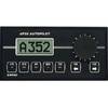
AP-35 Pack 3 Pilot AP35,J300X-40,RF300,RC25
-
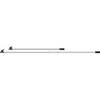
HK Tel 8ft Adjustable Boat Hooks 4132
-
Popular Atlases, Gulf Islands Atlas Canadian Charts
-
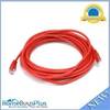
20ft 24AWG Cat5e 350MHz UTP Bare Copper Ethernet Network Cable - Red
-
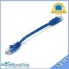
0.5ft 24AWG Cat5e 350MHz UTP Ethernet Bare Copper Network
-
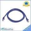
5ft 24AWG Cat5e 350MHz UTP Bare Copper Ethernet Network Cable - Purple
-
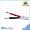
100ft 12AWG CL2 Rated 2-Conductor Loud Speaker Cable (for In-Wall Installation)
-
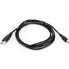
6ft USB A to Mini-B 5pin 28/28AWG Cable
-
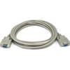
10ft DB 9 F/F Molded Cable
-
B75-0-M Broadband Chirp 0 Degree Tilt, No CONNECTOR, Depth & Temperature Thru-Hull Tilted
-
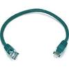
1ft 24AWG Cat5e 350MHz UTP Bare Copper Ethernet Network Cable - Green
-
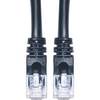
Cat6a Ethernet Cable | 10ft | Black | Network | 10 Gigabit