010-C0787-20 Bluechart G2 HXEU051RLista - Sognefjorden microSD
Model: 010-C0787-20 Brand: Garmin
See your surroundings more clearly with BlueChart g2 data. With BlueChart g2, you'll get detailed marine cartography that provides convenient viewing of nautical content. BlueChart g2 allows you to see your vessel's precise, on-chart position in relation to naviads, coastal features, anchorages, obstructions, waterways, restricted areas and more. You will also have access to detailed mapping capabilities that include Safety Shading, Fishing Charts, smooth data transition between zoom levels, harmonious transition across chart borders, and reduction of chart discontinuities. Covers: Detailed coverage of the Norway coast from Farsund to Sognefjorden, including the Shetland Islands. Includes detailed coverage of Bergen, Haugesund and Stavanger. « less
Product Specification
-
Universal Product Identifiers
Part Numbers: 010-C0787-20, 10805356, 35646GTIN: 00753759091965
Related Products
-
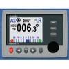
Admiral P2 Color Display, SSRC1 Rate Gyro Compass, No Feedback
-
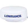
LRA2400 HD Digital 4KW 24 Inch Radar Dome w12109
-
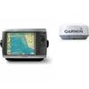
Radar 4208 Package with GMR18 4KW Radome
-
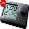
AP2803VRF Autopilot AP28,AC12,RC42,RPU80
-
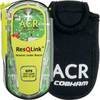
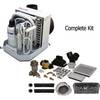
ResQLink PLB with Free Floating Pouch #2880/9521
-
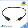
1.5ft USB 2.0 A Male to A Female Extension 28/24AWG Cable (Gold Plated)
-
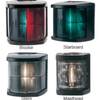
Marine Navigation Lights for Boats to 65'7" Starboard Series
-
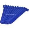
Hook & Loop Fastening Cable Ties 6inch, 10pcs/Pack - Blue
-
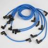
Marine Products Plug Wire Set 9-28021
-
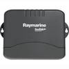
E55058 Seatalk HS Network Switch
-
Product Fcf0009000Gs Air Conditioner 115V FCF9000
-
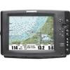
1100 Series 1155c - Marine Chartplotter - 10.4" color - 800 x 600