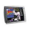
A50 GPS / Chartplotter
Model: A50 Brand: ---
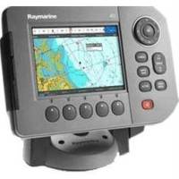
[The Raymarine A50 GPS-Chartplotter is powerful navigation system that combines a direct sunlight viewable high resolution 5" VGA color display with advanced chartplotting. The rugged waterproof construction make the A50 a perfect fit for center consoles and open cockpits. This A50 is preloaded with ready-to-navigate Navionics cartography for coastal U.S. waters and the Great Lakes. Expand your chartplotters capability by adding optional Navionics Gold or HotMaps charts using the onboard CompactFlash card reader. Or step up to Navionics Platinum for the ultimate chartplotting experience. Navionics Platinum charts feature 3D and satellite cartography, panoramic port photos, dy] « less
Product Specification
-
Universal Product Identifiers
Part Number: E62184-US
Related Products
-
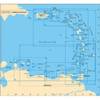
A241 Imray St. Barthelemy Marine Nautical Chart
-
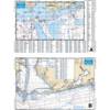
Mobile Bay to Pensacola Offshore Fishing - Waterproof Charts
-
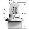
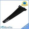
BPPC194 Instrument Panel Bulb
-
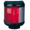
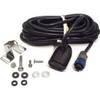
40300-7 S40 Port Navigation Light 12v/25w
-
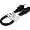
1ft 14AWG Power Cord Cable w/ 3 Conductor PC Power Connector Socket (C13/5-15P) - Black
-
Hook & Loop Fastening Cable Ties 9inch, 100pcs/Pack - Black
-
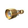
HST-WSBL TM Ducer Depth/Temp Blue Connector
-
TNC-Cp/Gs-02 Connector for RG-8X Cable tncpgs
-
1210G 38 100 Pcs Ring Heat Shrink Connector Yellow
-
FA-CM-90 - Field CONNECTOR, Male Micro/Mid, 90?
-
19811 PL259 with Adapter
-
GPSMAP 7215 - Marine Chartplotter - 15" color - 1024 x 768