BlueChart g2 Vision - Southeast Caribbean - Maps
Model: Brand: Garmin
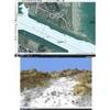
BlueChart g2 Vision offers the same rich detailed charting of BlueChart g2 to help you get the most out of your unit. In addition, g2 Vision features a growing database of high-resolution satellite imagery, above and below the water 3D perspective, auto guidance technology, aerial photographs for real world reference and coastal roads with points of interest. This product features coverage of the Caribbean from Haiti to Trinidad & Tobago, including Puerto Rico and all of the Lesser Antilles. Also includes the Colombian and Venezuelan coasts from Barranquilla, Colombia to the mouth of the Orinoco River, including Lake Maracaibo and the Gulf of Paria. « less
Product Specification
-
General
Product Type: MapsDistribution Media: SD Memory CardFirst Seen On Google Shopping: May 2007 -
Compatibility Information
Designed For: Garmin GPSMAP 4008, 4012, 420, 4208, 420s, 4212, 430, 430s, 430sx, 430x, 440, 440s, 440sx, 440x, 450, 5008, 5012, 520, 5208, 520s, 5212, 525, 525s, 530, 530s, 535, 535s, 540, 540s, 545, 545s, 550, 550s, 555, 555s -
Universal Product Identifiers
Part Numbers: 010-C0731-00, Southeast CaribbeanGTIN: 00753759069117, 00881094458805
Related Products
-
AP35-8 Autopilot with AP35, Rudder Feedback RF300, J300X-40(20A peak) and RPU300, 24V Drive Unit (for Hydraulic Steering) sap358
-
Escort 90Deg SCANNING Sonar with Thru Hull Transducer U1-ESCT-00C escortb
-
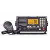
IC-M604 VHF Marine Transceiver
-
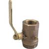
Inline Valve, 1 1/2 Inch Pipe
-
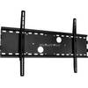
Low Profile Wall Mount Bracket for LCD LED Plasma (Max 165Lbs, 30~63inch) - Black
-
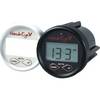
DF1000D Digital Depth Finder
-
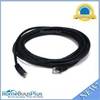
Ethernet Category 5 Enhanced RJ45 Network Patch Cable - 14'
-
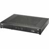
lian I-Series Dish Network HD Receiver DISH211K
-
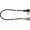
DA23M - Antenna Adapter Cable for Motorola MOTOROKR
-
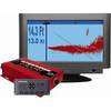
E127 12" Display w/ Sounder and US Coastal Charts
-
GlobalMap 8200C - Marine GPS receiver - 8.4" color - 600 x 800
-
FUGMAR-4 Marine 4 PC Navigation Software v4.5 - Upgradable to 5