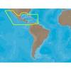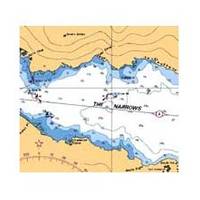
Canadian Charts 3312 Jervis Inlet and / et Desolation Sound Chart
Model: 3312 Brand:
3312; Canadian charts of the Pacific region Encompasses the Strait of Georgia - Canada Note: Ensure that your charts are kept current to reflect changes to that area
Product Specification
-
Universal Product Identifiers
Part Number: 3312
Related Products
-
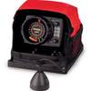
LX-5 Dual Beam True Color Sonar Flasher System
-
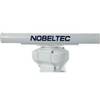
IR2 4.3 4KW 3.5 Foot Open Array Radar R-0005
-
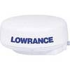
000-0121-39 - LRA-2400 24, 4KW, 48NM Radome
-
FR8252-6 Open Array Radar
-
30131 Max - Central America and The Caribbean - C-Card
-
34891 Marine 400 Medical Kit
-
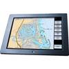
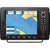
GB40 15 Inch Glass Bridge Navigation System (Requires GPS Antenna)
-
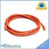
10ft 24AWG Cat6 550mhz UTP Ethernet Bare Copper Network Cable - Orange
-
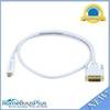
3ft 32AWG Mini DisplayPort to DVI Cable - White
-
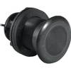
000-0136-02 - 50/200kHz /T, PL Lo-Pro Xdcr, Blue CON
-
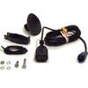
PT-WSBL Portable Mount Transducer Blue Connector wptwsbl
-
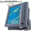
CP590 12 GPS Chartplotter w/Coastal Charts Map