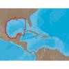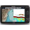
CFHMPTE6 HotMaps Platinum Multi-Dimensional 3D Lake Maps
Model: CFHMPTE6 Brand: Navionics
HotMaps Platinum Multi-Dimensional Lake Maps - with 1000 of Navionics exclusive high-definition lake maps to 1' contours featuring 3D bottom view, top-down photo/map overlay and panoramic lake pictures. FREE Fish'N Chip high-definition fishing detail for US Great Lakes waters now included in HotMaps Platinum Canada, North and East regions. Plus, over 15,000 additional lakes with underwater structure, improved accuracy, major roads, county lines and more. « less
Product Specification
-
Universal Product Identifiers
Part Numbers: 37632, CF-HMPT-E6, cw-37632, DEF-257887-CFEA6GTIN: 00821245135704
Related Products
-
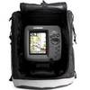
386ci GPS Fishfinder Portable 409040-1 c46183
-
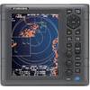
1935 4KW 3.5 Open Array Color LCD Radar 37418
-
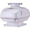
RSB0073-085 24/48 rpm Gearbox with 6.0 KW Transceiver (FR8062)
-
NA-C402 Furuno FP Format Pensacola Bay Gulf
-
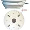
ADA-M31 Dual Mount Adapter f/KVH M1 Map
-
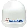
Sea-King 1500-HD 15 HDTV Ready Satdome Map
-
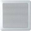
MA7060 Marine Speaker Panel 140 Watt (Pair) c12285
-
25ft 24AWG Cat6 550mhz UTP Ethernet Bare Copper Network Cable - Purple
-
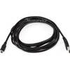
10ft USB A to Mini-B 5pin 28/28AWG Cable
-
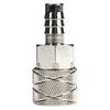
03348810 FITTING-FUEL Suzuki 3/8in to 75HP
-
C127 Multifunction Display w/Sonar - US Coastal Charts Map
-
Rareelectrical B0055eabf0 New Coleman PowerMate Marine Generator