Chart No. 1 Nautical Chart Symbols Abbreviations and Terms [Book]
Chart No. 1 contains a description of the symbols, abbreviations and terms that appear on nautical charts produced by the National Imagery and Mapping Agency, the National Ocean Service and the International Hydrographic Organization.
Product Specification
-
Authors: Griffes, NIMAFormat: paperbackPublication Date: January 1, 2000Key Terms: Plane of Reference, Sector lights, Traffic separation scheme, chart datum, buoy, nautical miles, Racon, Anchorage, Degaussing, nautical charts, World Geodetic System, Fish haven, WHlS, Ash Volcanic, Dot Lt, Supplementary national symbols, Cable Ferry, Loran-C, Submarine power cable, Topmark
-
Universal Product Identifiers
ISBN: 1577852753GTIN: 09781577852759
Related Products
-
395 Chafe Guard Secure Removable Pr
-
GPS receiver marine swivel mounting bracket
-
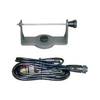
AIS Radar with 5 in Display Requires VHF Ant
-
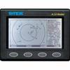
JMA-5106 Radar 72NM with 6KW with 4 Foot Open Array & 10 Inch Color LCD Display
-
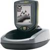
PiranhaMAX 10 Portable - Fishfinder - portable - included transducer
-
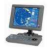
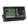
T70046 E95 Multifunction Display w/US Inland Charts
-
AP50 02 Autopilot System - AP50 2 Autopilot
-
75ft 24AWG Cat5e 350MHz UTP Bare Copper Ethernet Network Cable - Yellow
-
15ft USB 2.0 A Male to Mini-B 5pin Male 28/24AWG Cable w/ Ferrite Core (Gold Plated)
-
2832 35ft Optical Toslink 5.0mm OD Audio Cable
-
YQ100PLUS - Adapter Cord Set, 125/250V, Yellow
-
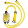
Parts Express Marine Grade Locking Cigarette Lighter Plug 12 VDC