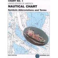
Chart No. 1 Nautical Chart Symbols Abbreviations and Terms: Spiral-Bound [Book]
Chart No. 1 contains a description of the symbols, abbreviations and terms that appear on nautical charts produced by the National Imagery and Mapping Agency, the National Ocean Service and the International Hydrographic Organization.
Product Specification
-
Authors: Griffes, NIMAFormat: bookPublication Date: January 1, 2000
-
Universal Product Identifiers
ISBN: 1577852761GTIN: 09781577852766
Related Products
-
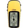
eTrex H - iking GPS receiver - Monochrome - 64 x 128
-
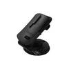
GPS receiver marine mount bracket
-
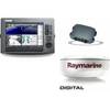
Package(C120W, DSM300G Sounder, 4KW 18 Inch Digital Radome & Radar Cable)
-
SG1 Marine Weatherproof CD Player Face Cover
-
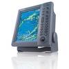
FR8062 12.1 Inch 6KW, 72 nm, 12.1 Color Display Radar 6' Open Array Antenna fr80626
-
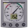
ST60 Plus Wind System, Wind System with Display, St 60 Ray Marine
-
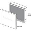
Suncovers for G Series Marine Displays G190 9717661
-
Serial cable - (DB-9) - F - 10 ft - PC
-
250ft 12AWG CL2 Rated 4-Conductor Loud Speaker Cable (for In-Wall Installation)
-
NT3VP Nautico Waterproof Marine Radio mdlnt3vp
-
DSM30 Digital Network Sounder Module E63074
-
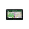
n�vi 2360LT - Automotive GPS receiver - 4.3" color - 480 x 272 - widescreen