How to Read A Nautical Chart: A Complete Guide to the Symbols, Abbrevi
"Calder has done it again. Using them to your best advantage requires a thorough understanding of the symbols and abbreviations and an awareness of the limits of accuracy in positions and soundings. Did you know, for example, that hydrographic standards used to collect the majority of data on modern charts are considerably less accurate than GPS position fixes? That the majority of soundings still come from lead-line surveys? That a wreck symbol surrounded by a dotted circle means it is considered dangerous? That there are four different kinds of rock symbols, each with a different meaning? And that the definition of "danger" has changed over time and will depend on the age of your charts? In How to Read a Nautical Chart, trusted boating authority Nigel Calder answers these and hundreds of other questions clearly and concisely. Nigel's enthusiasm and insight turn a mundane chart into a map of buried treasure. « less
Product Specification
-
Universal Product Identifiers
GTIN: 09780071592888
Related Products
-
536.5 Triple Tone Boat - Small
-
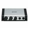
GSM1000 1kW Sonar Module 50/200 kHz 40354
-
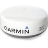
GMR24 HD Radar 24 Inch 4KW 48NM Range High Definition Dome with 15 Meter Cable 010-00572-03
-
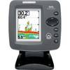
300 Series 343c - Fishfinder - included transducer : XNT-9-20-T - dual-beam
-
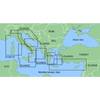
MapSource BlueChart - Adriatic Sea, North Coast - Maps
-
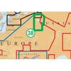
CF/38XG XL9 38XG - Moscow Area CF Card
-
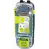
SARLink View PLB Personal Locator Beacon 2885 c38138
-
Minding the Helm: Marine Navigation and Piloting [Book]
-
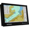
MD-124Z 24 Inches Marine Display with 16:9 Aspect Ratio. Full HD (1920x108
-
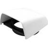
Marine Cowl Vent w/Hose Adapter f/4 BEC-C8
-
DSM300G Network Sounder Module F/ C & E & G E63069G
-
Cat6a Ethernet Cable | 1ft | Red | Network | 10 Gigabit