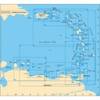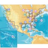
Inc MSD/652P Map, Lake Huron
Model: 652P Brand: Navionics
Navionics 652P+ Lake Huron Platinum+ Multi-Dimensional Charts, with the most advanced technology and best imaging available, provide high-resolution photo/chart overlay, full-view XGA panoramic pictures, improved 3D view, complete geo-referenced coast pilots. Compatibility Guide
Product Specification
-
Universal Product Identifiers
Part Numbers: 11093838, 37651, 652P+, DEF-257881MSD652, MSD-652P-, MSD652P+, SD652PGTIN: '82124565259, 00821245652591
Related Products
-
e7D 7" Multifunction Display with Sonar, Internal GPS, USA Silver Charts, RD418D Radar & No Transducer T70103 c44594
-
D232 Imray Curacao Marine Nautical Chart
-
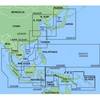
MapSource BlueChart - Yellow Sea - Maps
-
NA-C603 C-Card Format Hawaiian Islands
-
How to Read A Nautical Chart: A Complete Guide to the Symbols, Abbrevi
-
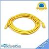
14ft 24AWG Cat5e 350MHz UTP Bare Copper Ethernet Network Cable - Yellow
-
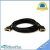
10ft 28AWG DVI-A to SVGA (HD15) Cable - Black
-
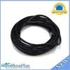
25ft 24AWG Cat6 550mhz UTP Ethernet Bare Copper Network 2316
-
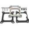
Marine Power 441220 Adapter Plate 262 Holley
-
PT-WSBL Portable Mount Transducer Blue Connector wptwsbl
-
Products 45444 600 Watt Land Wind Turbine Power Generator wit
-
FCF-16000 Feel Cool Fast Marine Air Conditioner by Webasto