MapSource BlueChart - Chesapeake - Maps
Model: Brand: Garmin
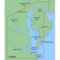
MapSource BlueChart is Garmin's exclusive marine cartography and was developed to provide you with mapping flexibility and options you've never had before. This line of cartography products is designed to provide interactive viewing of detailed nautical chart data, thereby providing navigators with innovative object-oriented cartography. These detailed electronic nautical charts look just like paper charts when displayed on your Garmin chartplotter. Features include shading between depth contours, spot soundings, navaids, port plans, wrecks, obstructions, inter-tidal zones, and more. BlueChart offers much larger coverage areas for half the price. MapSource BlueChart Chesapeake provides detailed coverage of Baltimore through Virginia Beach, including the entire Chesapeake Bay, the C&D canal, Norfolk and Cape Charles. « less
Product Specification
-
General
Product Type: MapsDistribution Media: microSD Memory CardFirst Seen On Google Shopping: January 2006 -
Compatibility Information
Designed For: Garmin eTrex Legend Cx, Vista Cx Garmin GPSMAP 60CSx, 60Cx, 76CSx, 76Cx -
Universal Product Identifiers
Part Numbers: 010-C0341-00, 010-C0379-00, ChesapeakeGTIN: 00753759055707
Related Products
-
000-10612-001 Triton Pilot Computer - Low Current
-
iScan V90 Forward Looking Sonar 16407
-
42989 HDS-10 Gen2 Insight USA 50/200kHz
-
Package(e127 with USA Coastal Chart, 4KW 24 Inch Digital Radome & Radar Cable)
-
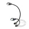
Marine LED Chart Red Light White Cvr 400 HLL-343720142
-
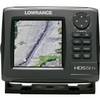
000-10520-001 HDS-5m Gen2 Nautic Insight Chartplotter
-
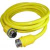
50PC50 50 Amp - 125VAC 50 Foot Cable Cord Set (Yellow)
-
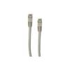
Patch cable - CAT 5e - RJ-45 - M - Shielded twisted pair (STP) 100 ft - Gray
-
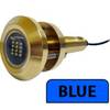
Lumishore Thru-Hull Flush Fit Underwater Light - Blue - 18W #THX18-B
-
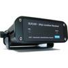
AIS Network Dual Channel Receiver SLR-200N
-
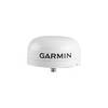
GA 30 - GPS antenna - Marine
-
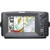
900 Series 917c Combo - Marine Chartplotter - 7" color - 800 x 480 - widescreen