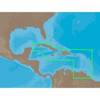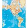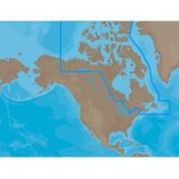
NA-M021 C-Card Format Canada North and East
Model: NA-M021 Brand: C-Map
NA-M021 => Canada North and East Coverage of the Arctic and Atlantic coasts of Canada including Hudson Bay, Newfoundland, the Gulf of St. Lawrence, Nova Scotia and the Bay of Fundy. Also includes coverage of the St. Lawrence River and eastern Lake Ontario, MacKenzie River, Great Bear Lake and all of Passamaquoddy Bay. « less
Product Specification
-
Universal Product Identifiers
Part Numbers: 30126, NA-M021, NA-M021C-CARDGTIN: 000000165836, 00686074002692
Related Products
-
SP110VF-4 SP-110 System w/Virtual Feedback & Type T Mechanical
-
22084578 AP20 Second Station
-
NA-C501 C-Card Format Cuba - Trinidad & Toba
-
SP110RF-4 SP-110 System w/Rudder Feedback & Type T Mechanical D
-
Brass Chart Weight Clock & Pen Set
-
04-4006-000 Power I/O Cable f/Chart Master 11 & V6 Series
-
MSD/2XG Gold Canada & Southeast Alaska on SD/MicroSD
-
33302-7 LED Port Side Mount Black
-
14ft 24AWG Cat5e 350MHz UTP Bare Copper Ethernet Network Cable - Gray
-
1.5ft Premier Series XLR Male to 1/4inch TRS Male 16AWG Cable (Gold Plated)
-
Trailer Wire Adapter 7-Round to 5-Flat Short Lead
-
IC-M304 VHF TRANSCEIVER, White Waterproof VHF Transceiver