NA-M033 C-Card Format - Atlantic Coast Gulf Caribbean
Model: NA-M033 Brand: C-Map
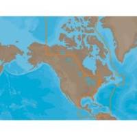
NA-M033 => Atlantic Coast, Gulf of Mexico and Caribbean Coverage includes most of the eastern coastline of North America. Lawrence and Nova Scotia. The St. Lawrence River is covered down to Montreal. The Gulf of Mexico, from Key West, FL to Brownsville, TX is covered in its entirety. All the islands of the Caribbean are covered, from the Bahamas over t « less
Product Specification
-
Universal Product Identifiers
Part Number: NA-M033C-CARDGTIN: 00686074002883
Related Products
-
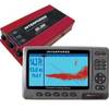
U1-200D-000 SE-200 BB Sonar w/7" Display & Cable No Du
-
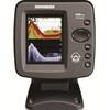
346c Di Color Sonar
-
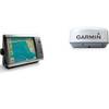
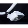
Radar 4212 Package with GMR18 4KW Radome
-
CF/638P+ Platinum Plus Puget Sound on CF
-
TR1 Gold Pilot
-
How to Read A Nautical Chart: A Complete Guide to the Symbols, Abbrevi
-
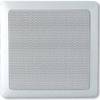
MA7060 Marine Speaker Panel 140 Watt (Pair) c12285
-
6/4 50 Amp 250 Volt Cable, 250' Spool, White Super Flex
-
2ft 24AWG Cat5e 350MHz UTP Bare Copper Ethernet Network Cable - Yellow
-
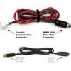
MARE-003 - Adapter, Yamaha Cmnd Link to Micro Male
-
Marine Products Plug, Lower Unit Drain 9-72655
-
PM-1LT-Kit Flood Light Kit for 1 Inch Ltb Pole