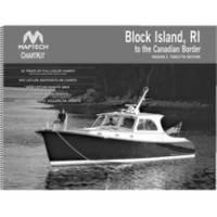
Papr02 Region 2 Paper Chart Kit
Model: Papr02 Brand: Maptech
ChartKits are full-color reproductions of U.S. government and private charts spiral bound into popular cruising regions with aerial photos, pre-plotted courses and more. The convenient-sized books are large enough to allow for manual plotting, yet small enough to sit on your nav-station or lap. Waterproof covers are available. « less
Product Specification
-
Universal Product Identifiers
Part Number: PAPR02
Related Products
-
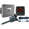
P70 & X-10 Corepack & Type 1 Linear Autopilot System for Sailboats T70080 c44131
-
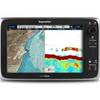
E70014 C127 Multifunction Display W Sonar - No Preloaded Ch
-
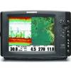
Part #407980-1 | 1158C Combo
-
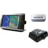
Radar 4010 Package with GMR24HD 4KW Radome & GSD22 Sounder
-
CF/674P+ Boston-ny Plat + on CF
-
010-C0774-20 Bluechart G2 HXEU016RMediterranean Southeast
-
Split Connector 6ft Right Angle RJ45 Plug
-
Fuel Line Connector
-
150AY Y Adapter, 2-15 20 Amp Straight Blade to 30 Amp Locking
-
18-8810-1 Premium Marine Spark Plug Wire Leads
-
Lumishore THX36-G Thru-Hull Flush Fit Underwater Light - Green 36W
-
GPSMAP 421 - Marine Chartplotter - 4" color - 240 x 320