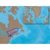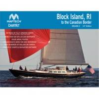
PAPR07; Region 7 Paper Chart Kit
Model: PAPR07 Brand: Maptech
ChartKits are full-color reproductions of U.S. government and private charts spiral bound into popular cruising regions with aerial photos pre-plotted courses and more. The convenient-sized books are large enough to allow for manual plotting yet small enough to sit on your nav-station or lap. Waterproof covers are available. « less
Product Specification
-
Universal Product Identifiers
Part Number: PAPR07
Related Products
-
NA-C202 Furuno FP Format - St. Lawrence Rideau Champlain
-
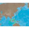
AS-M206 SD Card Format Java and Indonesia
-
Vancouver Harbour,Eastern Portion Indian Arm Chart
-
Inc MSD/PREM-E6 - Map, HotMaps Premium East
-
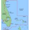
MapSource BlueChart - Jacksonville-Key West - Maps
-
7ft 24AWG Cat5e 350MHz UTP Bare Copper Ethernet Network Cable - Black
-
VGA Male to Male Cable 50 ft. CL2
-
HBL61CM22 - Straight Marine Adapter, 5-15P, L5-30R
-
DA645G Mini-UHF Adapter
-
Power Zone ORMAD30Y Marine Y Adptr 30A Plg 30A CON
-
Marine Products Plug Wire Set 9-28004
-
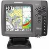
788ci High Definition Combo Internal GPS Antenna & Fishfinder with Transom Mount Transducer