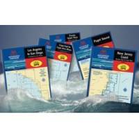
Waterproof Chart Kit - Cape Cod to Cape Ann, Mass #WPB0240
Model: WPB0240 Brand: Maptech
Waterproof Charts w/ Companion CD WPB0240 240: Cape Cod to Cape Ann, Mass Cape Cod Bay, Massachusetts Bay, and Boston Harbor, 26 chart pages, 116 GPS waypoints, Lat. /Long. grids, pre-plotted courses, ramps, and 200 marine facilities. 12 x 17, scales 1:400,000 to 1:12,500. Product Overview These easy-to-use, compact chart books are ideal for Day-Sailors, Fishing Boats, and Trailer Boats. They measure 12 x 17 (24 x 17 when open) and are made of waterproof, tear-resistant synthetic paper that will withstand the elements. GPS Ready New features make Waterproof Chartbooks easy to use with your GPS. Most charts include one-minute lat./long. grids to make vessel positioning a breeze, and major navigation aids are identified with named GPS waypoints. Small and Large-Scale Charts Waterproof Chartbooks include small-scale, wide area charts as well as large-scale, detailed charts of harbors and approaches « less
Product Specification
-
Universal Product Identifiers
Part Number: WPB0240
Related Products
-
AP35-19 Autopilot with AP35, J300X, Rudder Feedback RF300, HPU-200 sap3519
-
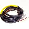
Boat (External) Wiring Harness Johnson/Evinrude OMC Yellow Plug New 473-9420 Instrument Cable Assembly
-
TX10S-1 - 10kW, 6' Open Array w/ 20m Cable
-
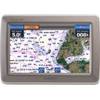
GPSMAP 640 - Marine, automotive Chartplotter - 5.2" color - 800 x 480
-
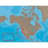
NA-M024 SD Card Format US West Coast and Haw
-
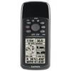
GPS 72H - Marine, hiking GPS receiver - Monochrome - 120 x 160
-
Chart No. 1 Nautical Chart Symbols Abbreviations and Terms [Book]
-
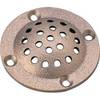
5" Round Bronze Strainer Made in The USA
-
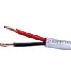
500ft 12AWG CL2 Rated 2-Conductor Loud Speaker Cable (for In-Wall Installation)
-
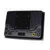
000-10290-001 - NSO System, Processor Only
-
YETP5E-7 7ft 24AWG Cat5e 350MHz UTP Bare Copper Ethernet Network Cable - Yellow
-
MDA-1 Metadata Class B AIS Transceiver W Internal GPS