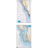
Waterproof Charts 15F Southwest Florida FISH/DIVE
Model: 15F Brand:
15F SOUTHWEST FLORIDA FISH/DIVEComplete offshore coverage from Tampa Bay south to 50 Miles South of Marco Island. Reverse side is coastal coverage from Englewood south to Ft. Myers Beach with complete depths for Charlotte Harbor, Pine Island Sound and Matlacha Pass. A table recompiled in FALL of 1999 contains a total of 209 Plotted and Indexed GPS/LORAN WAYPOINTS for Reefs and Wrecks, Lights and Fishing and Diving Areas. Information from 2 NOAA Charts; 11426 & 11420.25 x 38 « less
Product Specification
-
Universal Product Identifiers
Part Number: 15F
Related Products
-
Marine ILIM4060 Auckland LED Reading Chart Marine Light
-
M504 Black VHF Radio with Hailer M504A 61
-
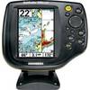
500 Series 587ci Combo - Marine Chartplotter - 4.5" color - 240 x 320
-
Accuform Signs - MLMR128GX - 6x6 IMO EPIRB GLW Pls, EA
-
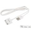
3ft USB Sync Cable for All 30-pin iPad, iPhone, and iPod - White
-
All Around Light, Red Nav Light Fresnel Lens Scotty
-
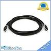
6ft Toslink to Mini M/M 5.0mm OD Molded Cable 1557
-
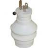
30 Amp to 15 Amp 125 Volt Hand Adapter White
-
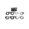
SM 01-1050000 Manifold Adapter Plate (Pair)
-
329957-1 UHF T Connector
-
100ft 24AWG Cat6 550mhz UTP Ethernet Bare Copper Network
-
500 Series 595c Combo - Marine Chartplotter - 5" color - 240 x 320