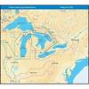
Max Chart for New Zealand in SD Format, M-AU-M001
Model: M-AU-M001 Brand: C-Map
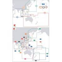
Coverage of New Zealand and Pacific Island's cover's Campbell Island - Cooke Strait - Lake Taupo - New Plymouth - Whangaroa Harbour - West Samoa - Phoenix Island - Papeete,French Polynesia and Cook Island's
Product Specification
-
Universal Product Identifiers
Part Number: AU-M001
Related Products
-
1500 Autopilot with Type 1 (60Ci/Min) with Rotary Feedback 10090009
-
NAVPILOT 720 Autopilot for Inboard without Pumpset
-
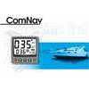
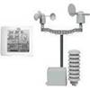
NG Weather 265NNC Touch Screen Weather Station
-
JMA-5110 Radar 72NM with 10KW 6 Foot Open Array & 10 Inch Color LCD Display
-
NT+ Wide Map, Ohio River: Cairo to Pittsburg NA-C039
-
Understanding a Nautical Chart: A Practical Guide to Safe Navigation [Book]
-
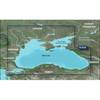
010-C1064-20 G2 HXRU002R Black Sea & Azov Bluechart SD
-
2797 91 FBRS 2897 Battery
-
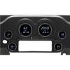
Instrument Package for Harley-Davidson Fairing models 2004-2012 - Blue LED MCL-3006-OT
-
SM-2 Automatic Crew-Overboard Marker Light with Bulkhead Bracket 3940.1
-
PMF10U7L Forward-Leaning Power Mount
-
lian i3 System Dish Network w/Multi-Satellite Interface & Dish