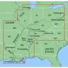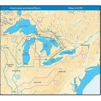
NT+ Wide Map, Lake Huron/Georgian Bay/North Channel NA-C104
Model: NA-C104 Brand: C-Map
C-MAP has set the standard for electronic charts with five consecutive NMEA awards for "Best Electronic Cartography". Built on the incredible success of C-MAP NT+, NT+ Wide combines a generation of chartplotters with efficient performance plus real-time accuracy and detail. Now you will be able to see slip detail as well as the locations for onshore facilities. « less
Product Specification
-
Universal Product Identifiers
Part Number: NA-C104GTIN: 00686074003071
Related Products
-
OC15SUK27B Rudder Feed Back Potentiometer Module - Autohelm Ra
-
MapSource BlueChart - Inland Rivers - Maps
-
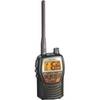
Genuine Cobra Ite-t50421-dbd1 Marine VHF Handheld Radio 10
-
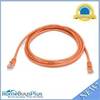
7ft 24AWG Cat5e 350MHz UTP Bare Copper Ethernet Network Cable - Orange
-
LED Navigation Lights, Masthead Tricolor w/ Anchor (1nm)
-
4-Gauge Switch-to-Starter 24 Battery Cable
-
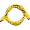
10ft 28AWG High Speed HDMI Cable w/Ferrite cores - Yellow
-
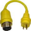
30 Amp to 20 Amp, 125 Volt Straight Adapter, Yellow A3020S
-
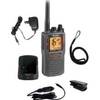
MRHH325VP VHF Two-way radio
-
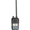
VHF Handheld Radio Black (151-ICM88)
-
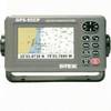
GPS-95CP Color Chartplotter with External GPS Antenna
-
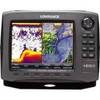
42985 HDS-8 Gen2 Insight USA w/o XD