External, Marine Navigation, 800 X 600, 1 Year
-
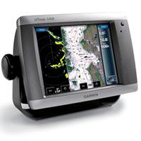
GPSMAP 5208 Network Chartplotter with U.S. Coastal Detail Maps, 8.4"
-
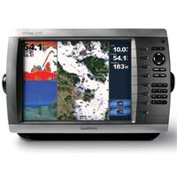
GPSMAP� 4210 Network Chartplotter with U.S. Coastal Detail Map, 10"
-
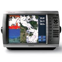
GPSMAP 4010 Network Chartplotter with Worldwide Basemap, 10" Diag. Screen
-
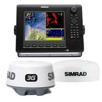
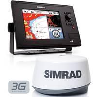
NSE Navigation Value Pack, NSE8, 3G, GS15
-
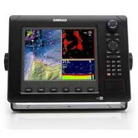
NSE8 - Chartplotter / Multifunction Display
-
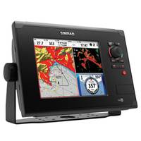
NSS8 Combo GPS with Sonar Multi-function Display
-
NSS8 Navigation Pack Multifunction Display + Broadband 3G Radar