Marine Navigation, Garmin, 1024 X 768
-
GPSMAP 4012 Network Chartplotter with Worldwide Basemap, 12.1" Diag. Screen
-
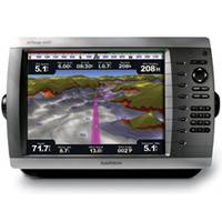
GPSMAP� Touchscreen Chartplotter 7212 preloaded BlueChart� g2 maps of the U.S. coast, 12.1"
-
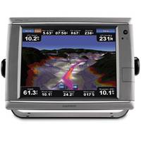
GPSMAP� Touchscreen Chartplotter 7215, preloaded BlueChart� g2 maps of the U.S. coast, 15.5"
-
-
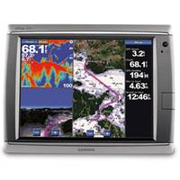
GPSMAP� 5212 Network Chartplotter with U.S. Coastal Detail Maps, 12.1"
-
GPSMAP� Premier Chartplotter 6212 with preloaded BlueChart� g2 maps of the U.S. coast
-
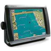
GPSMAP 5012 Touch Screen Chartplotter, Worldwide Basemap, 12.1"
-
GPSMAP� 7015 Basemap Only
-
GPSMAP� 7012 Basemap Only
-
GPSMAP 5015 Chartplotter with GPS, Worldwide Basemap, 15"
-
GPSMAP 5215 Network Chartplotter with U.S. Coastal Detail Maps, 15"
Refine Search
marine navigation(x) •
garmin(x) •
1024 x 768(x) •
(1-10 of 10)
clear