Us Coastal, 640 X 480, 1 Year
-
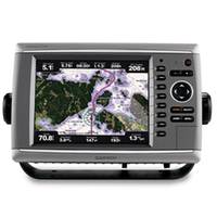
GPSMAP� Premier Chartplotter 6208 with preloaded BlueChart� g2 maps of the U.S. coast, 8.4"
-
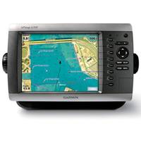
GPSMAP 4208 Network Chartplotter with U.S. Coastal Detail Map, 8.4"
-
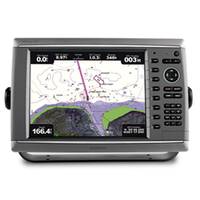
GPSMAP� Premier Chartplotter 6012 - Basemap Only
-
-
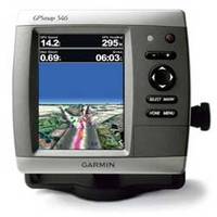
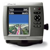
GPSMAP 546 Chartplotter
-
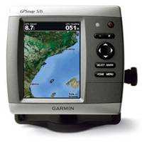
GPSMAP 526 Chartplotter
-
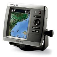
GPSMAP� 526s Chartplotter with Dual-frequency Transducer
-
GPSMAP 546s Chartplotter, with No Transducer
-
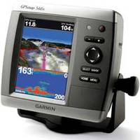
GPSMAP 546s Chartplotter/Sounder with Dual-frequency Transducer