010-C0748-10 Bluechart G2 HAF002RSouth Africa Data Card
Model: 010-C0748-10 Brand: Garmin
Detailed coverage of the coast of southern Africa from Namibe, Ang. to Angoche, Moz., including the South African cities of Cape Town and Port Elizabeth. Includes detailed coverage of Durban S. Af. and Maputo, Moz. Also includes detailed coverage of the Tristan da Cunha Group, the island of St. Helena, and the Prince Edward Islands. See your surroundings more clearly with BlueChart g2 data. With BlueChart g2, you'll get detailed marine cartography that provides convenient viewing of nautical content. BlueChart g2 allows you to see your vessel's precise, on-chart position in relation to naviads, coastal features, anchorages, obstructions, waterways, restricted areas and more. You will also have access to detailed mapping capabilities that include Safety Shading , Fishing Charts , smooth data transition between zoom levels, harmonious transition across chart borders, and reduction of chart discontinuities. « less
Product Specification
-
Universal Product Identifiers
Part Numbers: 010-C0748-10, 10804557, 35577GTIN: 00753759089658
Related Products
-
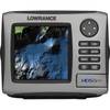
HDS-5m Nautic Insight Chartplotter - Coastal Data 34262
-
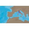
EM-C950 Furuno FP Format - Marina Di Carrara - Marina Di Tarq
-
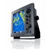
JMA-3340-6HS Radar 10KW 72 nm, 6 ft Open Array with 27-48 rpm Radar Antenna
-
010-C1024-10 Bluechart G2 HUS401SBermuda Data Card
-
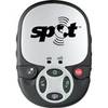
Spot 2 Satellite GPS Messenger - Silver Gloss Silver
-
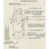
0493DP999N Cork Gasket
-
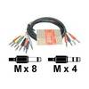
STP 803 - Audio cable kit - Male Phone stereo 6.3 mm to M Phone mono 6.3 mm
-
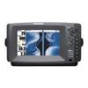
408890-1 898c HD Si Combo
-
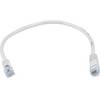
1ft 24AWG Cat5e 350MHz UTP Bare Copper Ethernet Network Cable - White
-
010-11324-00 - Gra 10 Rudder Angle Adpt
-
Amber LED, 12 Volt DC, 8033
-
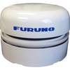
FUR-GP330B GPS Antenna/Receiver with 6 Meter Cable