010-C0760-10 Bluechart G2 HEU001REnglish Channel Data Card
Model: 010-C0760-10 Brand: Garmin
British coast: covers from Felixstowe to the Isles of Scilly, including Dover, The Solent, and the Isle of Wight. Also covers the River Thames from Twickenham to the North Sea. French coast: covers from Dunkerque to L'Aber Wrac'h, including Rouen and the Channel Islands. See your surroundings more clearly with BlueChart g2 data. With BlueChart g2, you'll get detailed marine cartography that provides convenient viewing of nautical content. BlueChart g2 allows you to see your vessel's precise, on-chart position in relation to naviads, coastal features, anchorages, obstructions, waterways, restricted areas and more. You will also have access to detailed mapping capabilities that include Safety Shading , Fishing Charts , smooth data transition between zoom levels, harmonious transition across chart borders, and reduction of chart discontinuities. « less
Product Specification
-
Universal Product Identifiers
Part Numbers: 010-C0760-10, 10804748, 35593GTIN: 00753759091439
Related Products
-
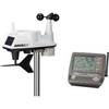
6250 Vantage Vue Wireless Weather Station
-
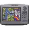
HDS 7 Base Multifunction without Transducer 140-34
-
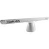
GMR 1206 XHD Radar 6ft/12kW Pedestal Array
-
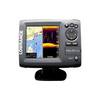
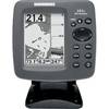
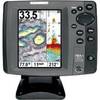
Elite 5 DSI - Fishfinder - included transducer : Skimmer DSI
-
300 Series 161 Combo - Marine Chartplotter - 4" monochrome - 240 x 320
-
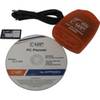
PC Planner NT 128KB for Raymarine
-
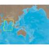
IN-M002 SD Card Format Indian Ocean
-
70M Double Starboard Nav Light
-
100ft 24AWG Cat6 550mhz UTP Ethernet Bare Copper Network
-
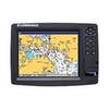
GlobalMap 7600C HD - Marine GPS receiver - 10.4" color - 600 x 800
-
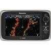
E62355 - e7D, 7 GPS/MFD/Sonar w/o Charts
-
700 Series 787c2 Combo - Marine Chartplotter - 5" color - 640 x 480