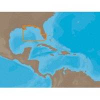
NA-C401 Furuno FP Format - St. Lucie Inlet - LK Pontchart
Model: NA-C401 Brand: C-Map
C-MAP has set the standard for electronic charts with five consecutive NMEA awards for "Best Electronic Cartography". Built on the incredible success of C-MAP NT+, NT+ Wide combines a generation of chartplotters with efficient performance plus real-time accuracy and detail. Now you will be able to see slip detail as well as the locations for onshore facilities. « less
Product Specification
-
Universal Product Identifiers
Part Numbers: 20166, NA-C401FURUNOFPGTIN: 00686074003118
Related Products
-
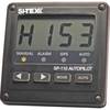
SP110 System w/ rfb & Remote Mech Drive - Sail 12"
-
010-C1024-10 Bluechart G2 HUS401SBermuda Data Card
-
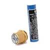
1032 LLB-1 Battery (1032)
-
2777.91 FBRS 2777 Battery Replacement Service
-
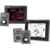
E22115 ST70 Plus Multifunction Instrument Display
-
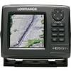
000-10520-001 HDS-5m Gen2 Nautic Insight Chartplotter
-
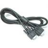
DVI or VGA Interconnect Cable to (digital) 10M
-
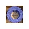
Bulk cable - CAT 5e - Unshielded twisted pair (UTP) 1000 ft - Purple
-
Cat6a Ethernet Cable | 3ft | White | Network | 10 Gigabit
-
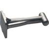
TM00522 Connector - Alloy
-
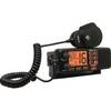
RG-1B Regatta 125 Watt Marine Radio (Black Case)
-
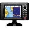
5" GPS CHARTPLOTTER/FF W/MAPS