010-C0774-20 Bluechart G2 HXEU016RMediterranean Southeast
Model: 010-C0774-20 Brand: Garmin
See your surroundings more clearly with BlueChart g2 data. With BlueChart g2, you'll get detailed marine cartography that provides convenient viewing of nautical content. BlueChart g2 allows you to see your vessel's precise, on-chart position in relation to naviads, coastal features, anchorages, obstructions, waterways, restricted areas and more. You will also have access to detailed mapping capabilities that include Safety Shading, Fishing Charts, smooth data transition between zoom levels, harmonious transition across chart borders, and reduction of chart discontinuities. Covers: From Gulluk, Turkey east to include Cyprus, Syria, Lebanon and Israel, then west to Misratah, Libya. « less
Product Specification
-
Universal Product Identifiers
Part Numbers: 010-C0774-20, 10805083, 35622GTIN: 00753759091729
Related Products
-
010-00738-00 - Radar Pedestal, 6KW XHD
-
GMR 406 6 ft Open Array Antenna Only
-
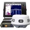
000-10631-001 NSS12 Navigation Pack - NSS12, 3G Radar & BSM-1
-
Package(E140W, GPS Antenna, 4KW 24 Inch Digital Radome & Radar Cable )
-
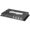
AP2403 Autopilot AP24,AC12,RC42,RF300, RPU80
-
0834008PLB 1-1/2 Seacock w/Curved Tail
-
407870-1 Ice 345C
-
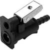
8075 1/4 Mc/Ma/Ya Fuel Connector
-
lian M2-TD02 I-Series Dish Network Multi-Satellite Interface Mult
-
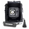
000-10217-001 - VHF-HH/GPS Combo, HH33U
-
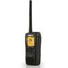
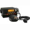
Mr F55 Fixed Mount VHF Radio, Fixed Mount VHF 1-25 Watt Black Cobra
-
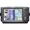
900 Series 997c SI Combo - Marine Chartplotter - 8" color - 800 x 480 - widescreen