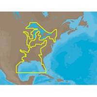
30128 Max - U.S. Gulf Coast and Inland Rivers - C-Card
Model: 30128 Brand: C-Map
NA-M023 => Gulf of Mexico, Great Lakes and Rivers Coverage of the Gulf states, starting from Boca Raton, FL, down to Key West, FL, then back up and around the Gulf to Brownsville, TX. Also includes coverage of all the Great Lakes: Erie, Superior, Ontario, Huron and Michigan. Coverage of the Great Lakes also includes Fox River and Lake Winnebago, Lake St. Clair and the Trent-Severn Waterway. River coverage includes the Mississippi River, Ohio River, Illinois River, Arkansas River, Red River, Ouachita River, Tennessee River, Cumberland River, Tenn-Tom Waterway and the Black Warrior River. Other smaller rivers are also included: Green River, KY, Kanawha River, WV, Allegheny and Monongahela Rivers, PA and Kankakee River, IL. Additional coverage of the Hudson River, including Lake Champlain, down to New York City, the Erie Barge Canal and partial coverage of the St. Lawrence River up to Montreal. « less
Product Specification
-
Universal Product Identifiers
Part Numbers: 30128, NA-M023, NA-M023.00, NA-M023C-CARDGTIN: 000000165837, 00686074002739
Related Products
-
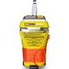
MT-403G AccuSat 406 Cat 2 EPIRB Intern GPS Non-Hazmat Withbracket
-
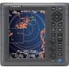
1835 4KW 24" Dome 10. 4" Color LCD Radar
-
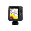
Fishfinder echo 500c - Fishfinder - included transducer - dual-beam
-
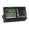
AP50 02 Autopilot System - AP50 2 Autopilot
-
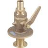
0835008PLB Seacock w/Straight TP 1-1/2In*
-
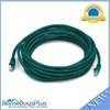
20ft 24AWG Cat6 550mhz UTP Ethernet Bare Copper Network Cable - Green
-
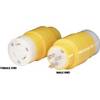
83A 30A Locking to 15A Straight Blade Adapter
-
DVD - Interfacing Marine Electronics #N691DVD
-
B75-20-M Broadband Chirp 20 Degree Tilt, No CONNECTOR, Depth & Temperature Thru-Hull Tilted
-
PMA-5R-7L Power Mount with Light Bracket Option -LTB Not Included (PMA-57-M1 + ADA-R1) c17076
-
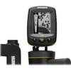
Fishin' Buddy 130 - Fishfinder - portable - included transducer - single-beam
-
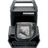
500 Series 535 Portable - Fishfinder - portable - included transducer - single-beam