3204 Lake Havasu
Model: 3204 Brand: Fish-n-Map
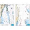
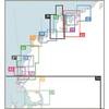
FISH-N-MAP UNDERWATER TOPOGRAPHY MAPSMade of waterproof, tear resistant plastic. Features include: underwater depth contours, fish locations, latitude and longitude for GPS, multiple freshwater lakes on one map, boat ramps, recreational facilities and much more.
Product Specification
-
Universal Product Identifiers
Part Numbers: 234560, 3204GTIN: 00761428032041
Related Products
-
GSD 22 - GPS receiver remote sonar sensor
-
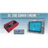
SE200C Sonar engine with 2 Thru Hull Transducers U1-200C-00E 1200c00e
-
Waterproof Charts 123F Coastal Miami Trolling Chart - FISH/DIVE
-
NT+ Wide Chart (New Zealand & Australian & Asia Region)
-
WPC048; Champlain Canal Ed 1
-
Smartfind Plus G5 GPS EPIRB Automatic Cat I
-
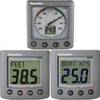
T22072-P - ST60+ System Pack (Depth, Speed & Wind)
-
Series 22 Navigation Lights Deck Mount, Red, 1/4" x 1/8"
-
290 Marine Navigation ROADrule Marine Navigation Aids
-
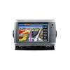
GPSMAP 740 - Marine Chartplotter - 7" color - 800 x 480 - widescreen
-
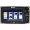
E62354 E7 7" Multifunction Display w/Internal GPS - No
-
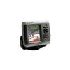
GPSMAP 430s Marine GPS Navigation System Dual Beam Transom Transducer