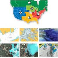
37637 HotMaps Platinum Multi-Dimensional 3D Lake Maps
Model: 37637 Brand: Navionics
HotMaps Platinum Multi-Dimensional Lake Maps - with 1000 of Navionics exclusive high-definition lake maps to 1' contours featuring 3D bottom view, top-down photo/map overlay and panoramic lake pictures. FREE Fish'N Chip high-definition fishing
Product Specification
-
Universal Product Identifiers
Part Numbers: 11094273, 37637, DEF-257887MSDEA6, HMPT-E6, MSD-HMPT-E6, SD/HMPT-E6GTIN: '82124513594, 00821245135940
Related Products
-
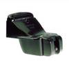
Transom Mnt Depth Triducer (P66) E26028
-
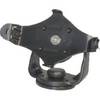
GPS receiver mount bracket
-
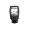
Fishfinder echo 150 - Fishfinder - included transducer - dual-beam
-
NT Pass BAY-NANTUCKET NAC301
-
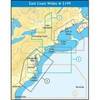
WPC087; Throgs Neck to Grenwich CT
-
Bronze Seacock, 3/4 Inch Adapter, 90 Degree 0834005PLB
-
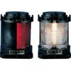
Series 55 Commercial Navigation Lights, Series 55 Stern Light White
-
Cat6a Ethernet Cable | 5ft | Red | Network | 10 Gigabit
-
50ft 24AWG Cat5e 350MHz UTP Bare Copper Ethernet Network Cable - White
-
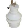
30 Amp to 15 Amp 125 Volt Hand Adapter White
-
14ft 24AWG Cat6 550mhz UTP Ethernet Bare Copper Network Cable - White
-
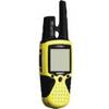
RINO 110 - Hiking GPS receiver / two-way radio - Monochrome - 160 x 160