4122 San Diego/Oceanside - Coronado
Model: 4122 Brand: Fish-n-Map
FISH-N-MAP UNDERWATER TOPOGRAPHY MAPSMade of waterproof, tear resistant plastic. Features include: underwater depth contours, fish locations, latitude and longitude for GPS, multiple freshwater lakes on one map, boat ramps, recreational facilities and much more.
Product Specification
-
Universal Product Identifiers
Part Number: 4122
Related Products
-
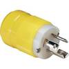
4721CR Marine Electrical Plug 15-Amp Locking
-
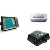
Radar 4012 Package with GMR24HD 4KW Radome & GSD22 Sounder
-
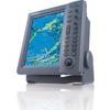
FR8122 12.1 Inch 12KW 72 NM Radar FR8122 without Antenna
-
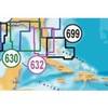
MSD/632P+ Platinum Plus South & Central Florida - SD/MicroSD
-
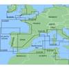
MapSource BlueChart - Irish Sea - Maps
-
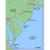
MapSource BlueChart - New York - New Jersey - Maps
-
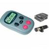
E12169 S1000 Wireless Autopilot System
-
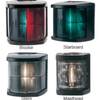
Marine Bi-Color Navigation Light
-
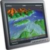
G170 17 Inch Ultra Bright Marine Display E02036
-
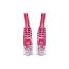
Patch cable - CAT 5e - RJ-45 - M - Unshielded twisted pair (UTP) 100 ft - Red
-
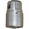
LTD 50F1 50 Amp 125 Volt Female Connector
-
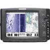
1100 Series 1197c SI Combo NVB CHO - Marine Chartplotter - 10.4" color - 800 x 600