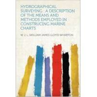
Hydrographical Surveying: A Description of the Means and Methods Employed in Construcing Marine Charts [Book]
Unlike some other reproductions of classic texts (1) We have not used OCR(Optical Character Recognition), as this leads to bad quality books with introduced typos. (2) In books where there are images such as portraits, maps, sketches etc We have endeavoured to keep the quality of these images, so they represent accurately the original artefact. Although occasionally there may be certain imperfections with these old texts, we feel they deserve to be made available for future generations to enjoy. « less
Product Specification
-
Authors: W. J. L. (William James Lloyd) WhartonPages: 418Format: paperbackPublication Date: 2012.08
-
Universal Product Identifiers
ISBN: 1290730547GTIN: 09781290730549
Related Products
-
T70027 C97 Multifunction Display W Sonar - US Inland Charts
-
Package(C120W, DSM300G Sounder, RA1048D 4KW 48 Inch HD Digital Open Array Radar & 15m Radar Cable)
-
010-C0773-10 Bluechart G2 HEU015RAegean Sea & Sea of Marmara
-
000-10620-001 Triton Autopilot Computer - High Current
-
50PC50 50 Amp - 125VAC 50 Foot Cable Cord Set (Yellow)
-
93-SMTY50W-A Smart Y Adapter - 1 50A 125/250VAC Connect
-
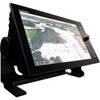
NavNet TZtouch TZT14 14.1" Multifunction Display
-
Digital Mini UHF Male to Male Adapter DA-624
-
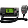
34170 Vhf-200 VHF Radio W/class-d DSC
-
Terk Sirmarine Satellite Radio Antenna
-
Product FCF0012000GS Air Conditioner 115V FCF12000
-
EnviroComfort ECD10 Air Conditioning Kit with Reverse Cycle Heat